318 HARKNESS RD
Owner Information
TOBEY, WILLIAM B & ROBERT, MARILYN
318 HARKNESS RD
AMHERST, MA 01002


Property Details
318 HARKNESS RD is classified as a Single Family Residential (Colonial).
The primary structure on this property was built in 1999. There are 4,980ft2 of built area within this property. There is 2,730ft2 of residential/living space within this property. This property is listed as having 9 rooms.
318 HARKNESS RD is valued at $497,300. The land is valued at $176,000 and the structures are valued at $296,000. There is an additional valuation of $25,300 on this property.
This property is in Zone RN20. Confirm with local Zoning Board authorities to ensure there are no overlays or other easements on this property.
The most recent deed for 318 HARKNESS RD is recorded at the local registrar in Book 5246, Page 0140. 318 HARKNESS RD was last sold on Thursday, November 20, 1997 for $50,000.
Assessment data from fiscal year 2022.
Flood Data
According to the FEMA National Flood Hazard Layer, this property does not appear to be in a flood zone. It may also be in an area not yet reviewed. Nonetheless, confirm this information prior to taking any action.
To view the flood hazards around this property, create a FEMA "Firmette" Map of the area around 318 HARKNESS RD.
Broadband Internet Providers
| Provider | Type | Bandwidth (mbps) | |
|---|---|---|---|
| Viasat Inc | Satellite | 100 | 3 |
| VSAT Systems, LLC. | Satellite | 2 | 1 |
| HughesNet | Satellite | 25 | 3 |
| GCI Communication Corp. | Satellite | 0 | 0 |
| Comcast | Cable | 1000 | 35 |
| Verizon New England Inc. | DSL | 15 | 1 |
Broadband service provider data from December 2020.
Adjacent Properties
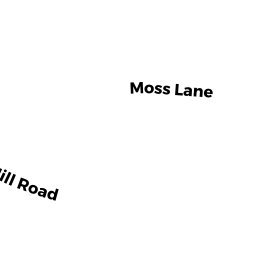
- HARKNESS RD
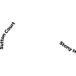
Vacant, Selectmen or City Council (Municipal) owned by TOWN OF AMHERST CONSERVATION COMMISSION - STONY HILL RD
Undevelopable Residential Land owned by ECHO HILL SOUTH ASSOC INC - STONY HILL RD
Undevelopable Residential Land owned by ECHO HILL SOUTH ASSOC INC - 330 HARKNESS RD
Use code not known or nor provided. owned by BROWN, DARRIN - 300 HARKNESS RD
Single Family Residential owned by SKOLFIELD, KAREN D & GOECKEL, DENNIS L